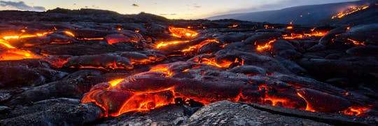
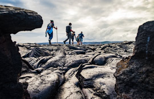
Head out of Hilo to the Puna Coast, location of the historic 2018 eruption, the first stop is Mackenzie State Recreation Area. The highway here was closed by the marching 40-foot tall wall of crumbly a’a lava as it continued to the sea. Take a hike along the now-closed highway, and then follow the lava flow through the pine forest to the altered coastline and cliffs overlooking the new black sand beach.
Isaac Hale Beach Park is next, where lava floes encircled this popular Park miraculously sparing the infrastructure while completely destroying everything around it. Be sure to check out the boat launch ramp, now sitting in a pond cut off from the ocean by a natural berm of lava. Picnic-style lunch will be served here, weather permitting.
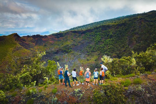
Next travel to the crown jewel of the Big Island, Hawaii Volcanoes National Park. Briefly visit the Kilauea Iki Overlook before heading off on foot down the paved road to Keanakakoi. Check out the activity here from the historic 2018 eruption which buckled the road and caused cracks and sinkholes. Get a birds-eye view of the Kilauea Caldera and the enormous Halema’uma’u Crater, along with views of the trail you'll take into the Caldera. It’s about 2 miles roundtrip taking you past the famous Sulphur Banks, through ancient forests of tree ferns, some as old as 1,000 years.
Look for endemic birds, such as the yellow ‘amakihi and the red ‘apapane. Reaching the floor of Kilauea Calder there is an incredible rock slide to your left, evidence of the 2018 eruption, and Halema’uma’u Crater before you. The Crater increased in size during the eruption with the lava lake draining out of it leaving behind an enormous 1,000-foot deep pit. Lastly, you'll pass by Volcano House for some beautiful views.


